

- Binding Hardcover
- 128 pages
- Type Non-Fiction
About this book
Español
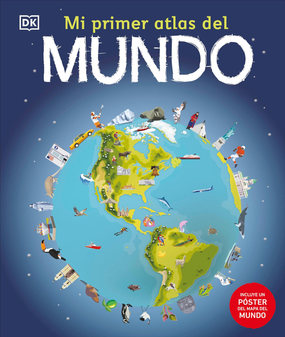
Mi primer atlas del mundo (Children's Illustrated Atlas)
Complementa el plan de estudios escolar.- Incluye más de 50 mapas del mundo con países y continentes detallados y a todo color.- Datos y cifras breves y directos sobre cada país, fáciles de entender para los niños.- Incluye un mapa del mundo ilustrado que puede utilizarse como póster facilitando así el aprendizaje de todos los países.¡Descubre el mundo con este emocionante atlas, que incluye más de 50 mapas! Cada página está llena de información fascinante y espectaculares ilustraciones.Embárcate en un emocionante viaje alrededor del mundo y apréndelo todo sobre los países, culturas, personas y animales de nuestro planeta. El libro también incluye un mapa político de cada continente. ¡Aprenderás cómo leer un mapa y cómo usar una brújula y una escala!------------------------------------------------------------------------------------------------------------ - Supports the classroom curriculum.- Includes more than 50 maps of the world, featuring countries and continents in full color detail.- Bite-sized facts and figures about each country are easy for a child to understand.- Includes a map of the world, an excellent resource that will help learning all the countries.It brings the world to life with colorful maps and fascinating facts about the countries of the world.Each map is bursting with information, combining colorful icons with photographs representing key points about each country. Includes a world map, with a political map for each continent.
English
Children's Illustrated Atlas
Details and credits
Author & illustrator Spanish book type and author
- Spanish book type
- Transadapted
-
Spanish book types
- Authentic Originally published in Spanish by publishers from Spanish-speaking countries.
- Transadapted This book Adapted into Spanish with educational and language-learning needs in mind, as well as translated texts.
- Bilingual Include both Spanish and English, making them useful for readers developing literacy in both languages.
- Author
- DK
Book details Type, binding, genre, fiction or nonfiction and more
- Type
- Non-Fiction
- Binding
- Hardcover
- Genre
- Informative
- Fiction or nonfiction
- Non-Fiction
- Subject
- Social Studies: Geography/History/Economics/Civics
- Pages
- 128
- Dimensions
- 12.31 x 10.31 x .54 (Inches)
Reader fit Ages and grades
- Ages
- 7, 8, 9
- Grades
- Grade 2, Grade 3, Grade 4
Publication details ISBN, publisher and copyright
- ISBN
- 9780744089141
- Publisher
- DK
- Copyright
- 2023